To build a walking route that ends at a cafe, choose the coffee shop and your arrival time first, then work backwards to a start point and a path. That single reframe is what turns a walk that wanders into a walk with a destination, and it takes about ten minutes with any mainstream map app.
Most people do it the other way round. They draw a loop from their front door, then browse for somewhere to sit down at the end. The problem is that the default map apps optimise for the fastest path, not the nicest one, so you get the shortest line to somewhere you picked at random — and half the time you arrive to a closed shutter or a room with no seats.
This is a slow-travel site, so I think about coffee stops as an ending, not a break. Whatever brings you to it — a free morning in a city you have never visited, a hotel you are leaving at noon, a dog that needs longer than the block around the corner — the method below holds.
Table of Contents›
- What You Need to Build a Walking Route That Ends at a Cafe
- Step-by-Step
- 1. Decide where the walk begins and how long it should last
- 2. Choose the cafe before you choose the path
- 3. Pick a direction and add useful waypoints
- 4. Build the route around safe and walkable streets
- 5. Check the route on foot and estimate the timing
- 6. Save the directions and create a backup
- Common Mistakes
- Frequently Asked Questions
- How long should a walk to a cafe be?
- What is the easiest way to plan a walking route without a map?
- How do I choose a cafe that is worth walking to?
- Can I build a walking route for someone with limited mobility?
- What should I do if it rains or the planned route is too long?
- How early should I check whether the cafe will be open?
- Conclusion
What You Need to Build a Walking Route That Ends at a Cafe
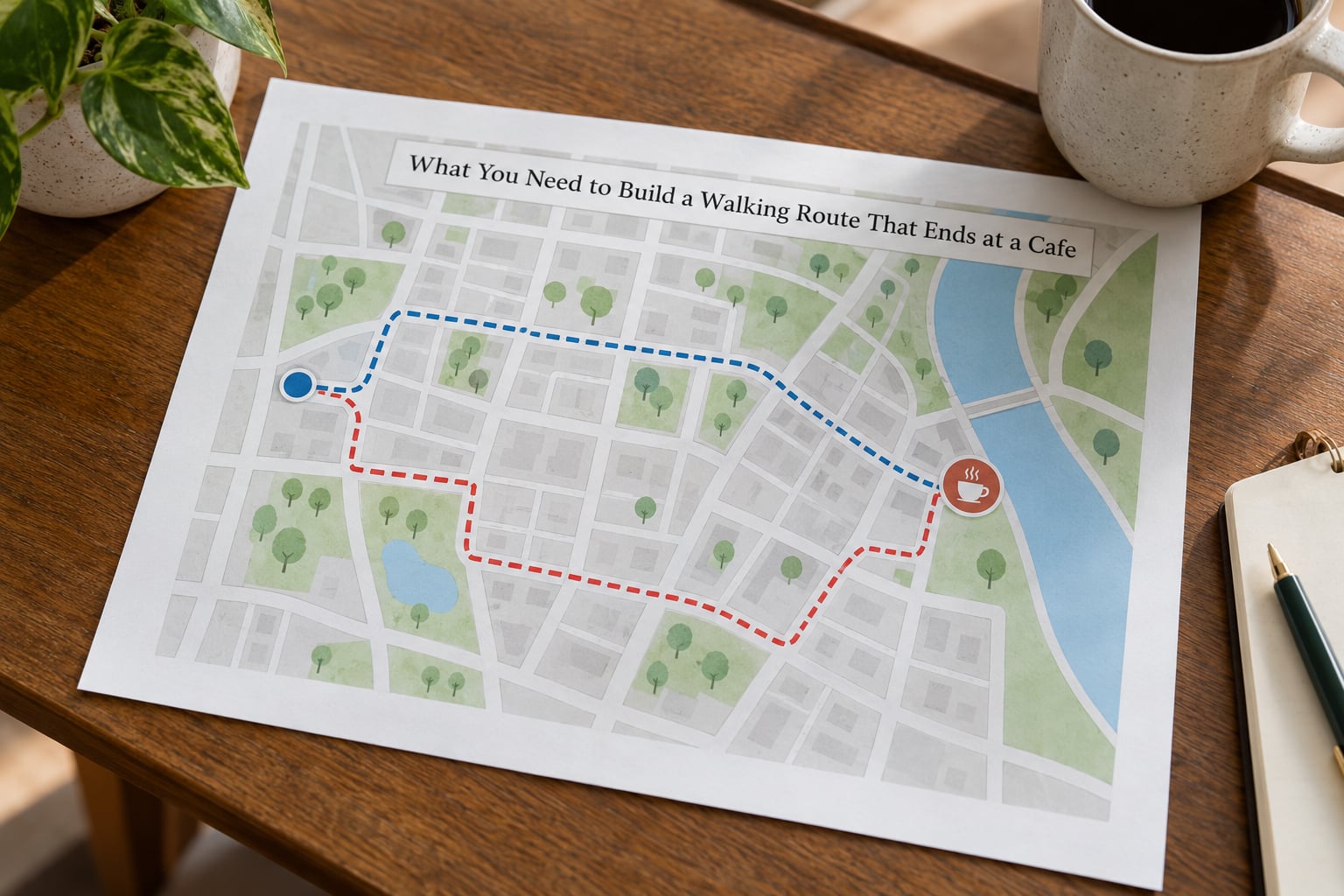
Six things, and you can find all of them before you leave the room.
- A start point. Home, a hotel lobby, a transit station, or a parked car. The address, not a vague landmark, because you will be typing it into the app and reading it back in the rain.
- The endpoint cafe. Name and full street address. A cafe name alone pulls up a chain in three different cities.
- A target walking time. Twenty minutes, forty-five minutes, two hours. This single number does most of the work, because it turns distance into a decision.
- A map app. Google Maps and Apple Maps are both installed on most phones and both handle multi-stop walking routes. More options below.
- Current pedestrian information. Crossing times, construction, which streets have a pavement. Free in the same app, but you have to look at it deliberately.
- A fallback. A second cafe two minutes from the first one. This is the difference between a walk that ends well and a walk that ends in frustration.
Wear shoes you can walk an hour in. Not an aesthetic point — most of the routes worth building include a park or a hill, and the wrong footwear turns a good walk into a limp.
Step-by-Step
1. Decide where the walk begins and how long it should last
Set the duration before you open the map, because the map will happily agree with whatever you ask for. Twenty minutes is roughly one mile. Forty-five minutes is a comfortable loop through a park or a couple of neighbourhoods. Two hours is a crawl, and only works if you have a place to sit between stops.
Then pick a start point that makes the timing work. If you want to arrive when a shop opens and it is a forty-minute walk, you either leave early or you find a closer cafe. Choosing the cafe first is what makes that trade visible instead of accidental.
2. Choose the cafe before you choose the path
This is the step that changes everything. Once the cafe is fixed, distance stops being a preference and becomes arithmetic. A cafe 1.4 miles away gives you a twenty-eight minute walk at an average of about 3 mph (4.8 km/h) — treat that as an average for a healthy adult on level ground, not a promise, since hills and heat add ten percent easily.
When you are choosing, check three things before the name: is it open at the hour you plan to arrive, does it have seating rather than a window counter, and is there anywhere to sit outside it if you are early or the room is full. A cafe that is a five-minute walk away and closes at noon is not an endpoint for a morning walk, however good the coffee is.
If the cafe has a website or an Instagram account, check the opening hours there rather than trusting the map. Map listings go stale constantly, and an experienced planner on the myRouteApp forum treats cafe points of interest as a planning-stage hint only, then confirms the venue separately before walking to it. I do the same — a stale listing is the one failure that ruins an otherwise good walk.
3. Pick a direction and add useful waypoints
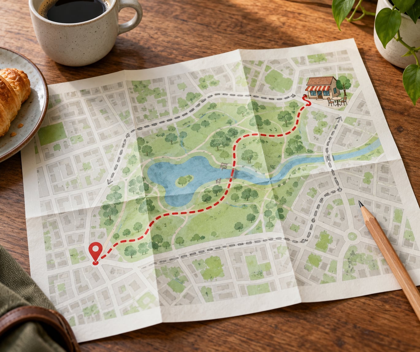
Now add the cafe as the final stop and fill the middle with somewhere worth walking. A park, a square, a market street, a river path, a building you have never looked at properly. Two or three intermediate stops is usually enough; more than five and the app will start shuffling them into a less pleasant order.
Three words get confused here and it matters when you are building a route by hand.
- Waypoint — a point the route must pass through. In Google Maps this is what you get from adding a stop.
- Via point — a stop in order, on the way, that the route must visit. You can usually attach a pause duration to it, which is exactly what a cafe endpoint needs.
- Shaping point — a nudge. The route still passes near it, but the app is free to choose the exact path. Use these for scenery you want to pass without stopping.
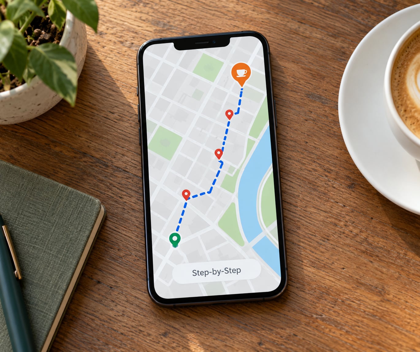
In Google Maps on a phone: tap Directions, set the travel mode to Walking, enter your start point, then tap the blue Add and type the cafe name. Each stop you add appears as a numbered pin in the list. Drag the cafe pin to the bottom of the list and it becomes your destination. Tap each intermediate pin to add a stop, then tap Done.
Apple Maps works the same way with different wording. Tap Directions, choose the Walk transport icon, enter the start, then tap the + button on the right of the search field to add stops. Tap the stacked squares on the left of the directions screen to reorder them, and drag the last one to the end. Be aware that Apple Maps has no save-route feature. For persistence, tap Share and save the stop list into Notes, or into a Guides list if you use one.
If the default apps keep pushing you onto main roads, that is what an alternative is for.
| App | How you build the path | Stops and pauses | Offline | Best for |
|---|---|---|---|---|
| Google Maps | Waypoints only; fastest path by default | Stops in order, no timed pause | Yes, downloaded area | Almost everyone, for a normal stroll |
| Apple Maps | Waypoints only | Stops in order, no timed pause, no route saving | Yes, on iPhone | Same, if you already live in the ecosystem |
| Komoot | Draw the line yourself, or follow a track | Waypoints and stages | Yes, full route download | A specific path you want to keep |
| AllTrails | Existing trail network, waypoint editing | Waypoints along the trail | Yes | Park and trail walks ending in a suburb |
| Footpath | Draw freeform, including off-path ground | Add pause with a duration | Varies by plan | Precise shapes the other apps refuse to draw |
| Strava | Records routes you walk; edits after | Limited route editing | No route download | Keeping a log, not planning one |
None of these automatically reorder a list of stops into the optimal sequence, which is the complaint that comes up most often in route-planning forums. The workaround is simple: work out the order yourself on paper before you type it in, roughly clockwise from your start, and the app will mostly keep it.
To export rather than just view the route, most of these produce a GPX file, a plain list of coordinates that other apps and watches can read. Komoot and Footpath are the straightforward exports. If you want the file rather than the directions, that is the route to take.
4. Build the route around safe and walkable streets
Now look at the line the app drew, and improve it. Toggle the route options and check what the app knows about the streets: pavements or none, crossing times, current construction, one-way pedestrian restrictions.
Three things deserve a deliberate look. Hills — check the elevation for the whole route, because a cafe that is downhill on the way out is uphill on the way back with a heavy bag. Crossings — count the main-road crossings and prefer a route with fewer of them even if it is longer. Lighting — if you are walking this unfamiliar in the evening, a route that stays on lit streets is worth several extra minutes.
And stairs. Almost no map app tells you reliably where a public staircase sits in the middle of a route. Walkers using mobility aids, a suitcase, or a pushchair need to check that on Street View before they commit, not on the day.
5. Check the route on foot and estimate the timing
Do the arithmetic before you leave. At an average of about 3 mph (4.8 km/h), roughly one mile takes twenty minutes and one kilometre takes twelve.
| Walking time | Distance | Shape of the walk |
|---|---|---|
| 10 minutes | 0.3 miles / 0.5 km | A coffee and a leg stretch |
| 20 minutes | 0.5 miles / 0.8 km | A proper short stroll, one or two waypoints |
| 30 minutes | 0.75 miles / 1.2 km | A park loop or a river path |
| 45 minutes | 1.1 miles / 1.8 km | A neighbourhood, three or four stops |
| 60 minutes | 1.5 miles / 2.4 km | A half-day walk, most days of the year |
Then subtract ten minutes from whatever the app estimated. It assumes a machine pace on a pavement. Adding ten minutes back as buffer covers photographs, a stop to look at something, and the fact that you will probably get mildly lost once.
Work backwards from the arrival time you want. Want a quiet table at 9:15 on a Tuesday? Leave at 8:35 for a thirty-minute walk, and aim to be at the door three minutes early rather than two minutes late.
Preview the route before you commit to it. Look for the sections you have never walked and check them on Street View — particularly the final two hundred metres into the cafe, where entrances move more often than signs do.
6. Save the directions and create a backup
Save it while you still have signal. In Google Maps, tap Save on the directions screen, name the list something you will recognise at 8am, and download the map for the area. Apple Maps has no save button, so put the stop list into Notes or a Guides list instead.
Note the cafe’s full street address and, if you can find it, the door number. Cafes on corners with two entrances cause more confusion than hills do.
Pick the fallback cafe now, while you are thinking about it. Somewhere within a minute of the first one, open at that hour. Then tell someone your return time if you are walking somewhere unfamiliar alone, and put the phone in a pocket rather than holding it up.
Common Mistakes
Taking the shortest route every time. The default map app will always hand you the fastest line, and the fastest line is a main road. Decide in advance what would make you take the long way — a park, a canal, a street of old shopfronts — and route through it. If you have to build the route around a scenic waypoint, the app will do the arithmetic for you.
Ignoring hills and pavements. A mile that sounds short can be an hour on a steep street with no footway. Check the elevation profile and the satellite view of the route before committing, particularly if you are walking with luggage, a stroller, or anyone who tires easily.
Not checking current opening information. This is the single most-reported failure, and it is entirely avoidable. Cafes change hours, close for a season, or move to a kiosk. Confirm the hours on the venue’s own site or social account, not on the map listing, and note the day of the week you are going. Sunday is the day small cafes are most likely to differ from what you assume.
Ending at a cafe with no buffer. Arriving is not the same as arriving well. If your route ends at 9:20 and the cafe takes orders until 9:30, a slow crossing or one wrong turn costs you the coffee and the walk.
Leaving the fallback to chance. Cafes fill up. Having a second one identified takes thirty seconds at the planning stage and saves the mood of the whole outing.
A few smaller habits that make a big difference. Start early at the quiet cafe rather than arriving in the middle of the rush, and take the seating question seriously — a room with eight seats will empty in twenty minutes. Keep the route inside an area with reception, and download the map if part of it runs through a low-signal stretch. In summer, bias the route toward shade; in winter, toward shelter.
Frequently Asked Questions
How long should a walk to a cafe be?
Twenty to thirty minutes is the sweet spot: about half a mile, long enough to feel like a walk and short enough that you can still enjoy the coffee. Any distance under ten minutes stops being a walk, and much over sixty minutes becomes an outing that needs its own rest stops. Plan for a 20 minute walk at an average of about 3 mph (4.8 km/h).
What is the easiest way to plan a walking route without a map?
Pick the cafe first, then pick one intermediate landmark between your start point and it, and walk the three points in a straight line. That gives you a start, a middle and an endpoint without opening an app at all. Use the map afterwards only to check that there is a pavement the whole way and that the road you would cross is safe to cross.
How do I choose a cafe that is worth walking to?
Look for seating, a quiet hour, and a reason to linger: a good window, a courtyard, or a room where a laptop feels welcome. Check the hours on the venue’s own site or account rather than the map listing, because map data goes stale. If you are going for the walk as much as the coffee, pick somewhere with an outside table you could have sat at anyway.
Can I build a walking route for someone with limited mobility?
Yes, with more checking than usual. Build the route on flat ground and look for a maximum gradient rather than the shortest distance. Then check Street View along the whole line for pavements, kerbs, and public staircases, which most apps will route you straight over without warning. Confirm with the cafe that there is step-free access and an accessible bathroom before you set out.
What should I do if it rains or the planned route is too long?
Shorten it rather than abandoning it. Pick a closer cafe and cut one waypoint, keeping the same direction so the walk still ends somewhere worth being. For rain, a 45 percent chance is not a no, but a downpour is: move the walk to a covered route or swap it for a tram ride and a longer sit-down. Have the fallback cafe ready either way.
How early should I check whether the cafe will be open?
Check the same day you plan to walk, and again an hour before you leave. Cafes adjust hours for holidays, quiet weeks, and private events, and none of that reliably reaches a map listing. If the venue has a phone number and you are walking in an unfamiliar place, calling is quicker than walking to a locked door.
Conclusion
Building a walking route that ends at a cafe comes down to three moves: choose the cafe and the hour you want to arrive, pick a start point that makes that time work, then lay one or two waypoints between them so the walk is worth taking. Check the opening hours on the venue’s own site, add ten minutes of buffer, and keep a second cafe in your back pocket.
Start small. Twenty minutes, one waypoint, one cafe you have already checked. Build the habit from there.