A scenic route is any road that isn’t an interstate: US and state highways, county roads, and named scenic byways that run through valleys, along coasts, and over mountain passes. Planning one means choosing a region, setting a driving pace you’ll actually keep, and placing two or three real reasons to stop every two hours. The honest trade-off is time. Expect roughly 30 to 60 percent more drive time than an interstate itinerary, so the route has to be budgeted rather than discovered on the fly.
I’ve planned slow trips this way for years, and the mistake almost everyone makes is the same: they pick the map first and the stops second. Then they end up driving past three good viewpoints because there was nothing in the plan that said stop.
Below is the order that works, plus the honest list of situations where the scenic route is the wrong call.
Table of Contents›
- What You Need
- Route planning tools, compared
- Timing information you should have before choosing
- Vehicle preparation
- Stop criteria
- Step-by-Step: How to Plan a Road Trip with Scenic Stops Instead of Highways
- 1. Choose a region with worthwhile scenic roads
- 2. Set the trip’s pace and total driving time
- 3. Map a route with regular reasons to stop
- 4. Build a stop list with two or three scenic stops per leg
- 5. Check seasonal road conditions and opening times
- 6. Pack for comfort, safety, and spontaneous discoveries
- 7. Navigate without defaulting to highways
- When not to take the scenic route
- Common Mistakes
- Frequently Asked Questions
- What is the 3-3-3 rule for a road trip?
- What is the best road trip planner for a route with multiple stops?
- Is there an app to plan scenic stops on a road trip?
- How many hours a day should you drive on a scenic route?
- How much longer does the scenic route take?
- What are the most common road trip mistakes on back roads?
- Conclusion
What You Need
You need a route planner that handles multiple waypoints, a way to check road class and speed limits before you leave, an offline map download, and a written list of stops with times attached. Everything else is optional.
Route planning tools, compared
| Tool | Avoid highways | Offline maps | Multiple stops | Best used for |
|---|---|---|---|---|
| Google Maps | Yes, via Route options (also avoid tolls and ferries) | Yes, download over Wi-Fi | Yes, though limits get in the way of big lists | Everyday routing, satellite view for scouting a road |
| Apple Maps | No persistent toggle for standard driving routes | Limited | Limited | iPhone navigation without Google |
| Waze | No official toggle; users reroute manually | Yes | Weak for long itineraries | Live traffic and hazard reports |
| Roadtrippers | No native no-interstate constraint | Yes | Strongest of the group | Multi-day trips with 10 or more stops |
| OpenStreetMap-based routers | Yes, road class can be set by preference | Varies by app | Yes | People who specifically want back roads only |
| Paper atlas | You choose every road yourself | Always works | No | Final check before the stretches with no signal |
Nobody does all of it in one app, so most people use two. Roadtrippers builds the multi-stop skeleton, then Google Maps handles each individual leg with highways switched off. That’s a workable split, and it’s worth accepting early instead of hunting for one app that does both.
Timing information you should have before choosing
- Real driving hours for each leg, not just miles
- Your hard deadline, if you have one
- Daylight hours in the months you’ll travel, since mountain and coastal roads are dark and slow after sunset
- How many hours you can genuinely drive after a full day of sightseeing
Vehicle preparation
Check tire pressure and tread depth before the trip, confirm the spare or the repair kit, and know your fuel range in miles rather than in tank size. On two-lane roads with long gaps between services, that number decides when you top off.
Stop criteria
Decide in advance what makes a stop worth your time. A view, a meal, a piece of history, or something odd will keep you on a route for a day. A gas station alone won’t.
Step-by-Step: How to Plan a Road Trip with Scenic Stops Instead of Highways
A successful scenic road trip is organized around several driving days, each with something worth doing in the middle of it, rather than one direct highway run. The sequence below is the whole process, from picking a region to the moment you leave the parking lot.
1. Choose a region with worthwhile scenic roads
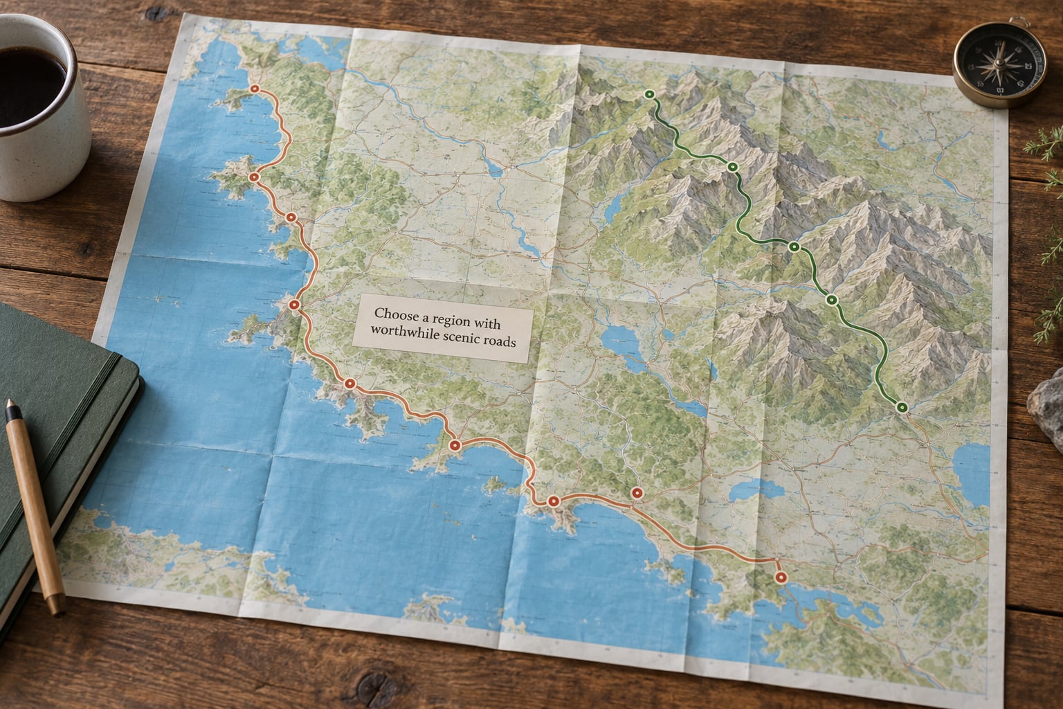
Start with the scenery, not the endpoints. Coastal routes give you sea views every few miles but slower speeds and more weather. Mountain and valley roads give you the biggest elevation swings and the highest risk of seasonal closure. Forest and rural roads are the quietest option, and the hardest to resupply.
The useful comparison isn’t scenery alone. Ask two questions: how much daylight does this road need, and how many towns with food and fuel sit between the big destinations? A road that’s beautiful and empty is a good two-hour loop, not a good four-hour leg.
Two tricks help here. Satellite or terrain view in Google Maps shows a surprising amount about a road before you commit to it — you can often see switchbacks, lake edges, and river crossings. And look for named byway programs in the states you’re crossing; the National Scenic Byway Program, run through the Federal Highway Administration, plus state-level byway designations mark roads that were picked for scenery rather than speed.
2. Set the trip’s pace and total driving time
Scenic routing costs real hours, and the honest range is 30 to 60 percent more than the same trip on interstates. The reason isn’t the scenery — it’s average speed, slower speed limits, more stoplights, farm equipment, and slower climbs. Here’s roughly what each road class costs you per 100 miles of distance:
| Road type | Typical average speed | Extra time per 100 miles | What you trade |
|---|---|---|---|
| Interstate | 60-65 mph | Baseline | Everything that isn’t the road itself |
| US Route | 45-55 mph | About 30 to 50 minutes | Some scenery, little of the town’s character |
| State or county route | 35-50 mph | About 1 to 2 hours | Stoplights, more towns, slower mornings |
| Back road | 25-40 mph | About 2 to 4 hours | Speed, and sometimes cell signal and fuel |
Divide the added hours across the days you have. If a scenic version of your route adds nine hours and you have four days, that’s roughly two extra hours spread over four days, which is absorbable. If it adds nine hours and you have one, it isn’t.
Most guides advise no more than five hours of driving in a single stint, and that number should drop when you’re on back roads. Slow roads are harder work than fast ones for the same reason you feel more tired at the end of a long winding day.
3. Map a route with regular reasons to stop
Sketch a base route first, with towns as overnight anchors, then look at the road between each pair. If a leg is four hours with nothing on it, either find one stop in the middle or move that leg to a different day.
Watch out for a trap that catches nearly everyone: US Routes often run parallel to the interstate and can be just as busy, because they connect the same cities. Switch on avoid highways, let the app choose, and you can end up on a road with twelve stoplights a mile and a used-car dealership every block. Interstates replaced many older US Routes for good reasons.
Route numbers are a decent shortcut when you’re reading a map. Three- and four-digit numbered roads are usually smaller and quieter than the numbered US Routes they branch off. If you want a genuinely different road, those are where to look.
4. Build a stop list with two or three scenic stops per leg
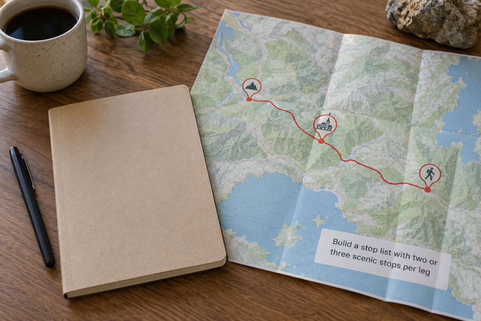
Anchor one real stop every two to three hours of driving, then cap it at two or three per leg. Past that you stop browsing and start rushing, which defeats the point. Group what you pick into four buckets so the day has variety: a view, a meal, a piece of history, and something odd.
A worked example looks like this. Say you’ve got a five-hour leg with a 6 p.m. arrival and nothing booked. One viewpoint at the two-hour mark, a town with a known good bakery at hour three and a half, and a short riverside walk near the end. Three stops, roughly an hour of actual stopping, and you still have daylight.
Decide which stops are worth a reservation and which are not. Lodging at the end of the day and anything with a hard closing time gets booked. A viewpoint does not.
5. Check seasonal road conditions and opening times
Check road conditions for every mountain pass, and do it again the week you leave. High passes close on snow, wildfire, flooding, or landslides, and some close without much notice. Roadside services and small-town cafes also run on seasonal hours that a search result from last year won’t reflect.
Confirm park access and any timed entry for the places on your list. Those reservation windows can be harder to plan around than the driving itself.
6. Pack for comfort, safety, and spontaneous discoveries
Bring water and snacks within reach, since you’ll want to stop when something looks good rather than at the next planned fuel point. Layers matter more than you expect on routes that cross elevation zones in one afternoon, and the footwear should handle the walks you actually planned, not just the ones on paper.
Charging equipment, an offline map download, a first-aid kit, extra water, a flashlight, and a paper copy of the route belong in the same bag. If you’re driving solo, that list matters more, not less: on a remote two-lane road with no signal, a working phone is the difference between a two-hour wait and a very long evening.
Keep some slack in the vehicle. An unplanned stop is the most common part of this kind of trip.
7. Navigate without defaulting to highways
Use waypoints deliberately. If you want to stay off the interstate, add a town along the way as an explicit stop rather than trusting the router to find it, and check the road class and speed limit on each leg before you leave the parking lot.
Turn off highways, tolls, and ferries in Google Maps under route options, then look at the preview line and confirm it looks like a two-lane road. Turn on satellite view for any unfamiliar stretch. If the app pushes you onto a road you don’t recognize, reroute from the last town rather than from your current position, because a mid-drive correction is the hardest one to make.
Use fuel and food stops as backup waypoints. A named gas station forty minutes down a back road is both a refuel and a pin that keeps the router where you want it.
When not to take the scenic route
Sometimes the interstate is the correct answer. Skip the scenic routing when you’re driving into a winter storm forecast, when a mountain pass is closed or unverified, when you have a hard appointment you can’t move, when the passengers include young children and the day is already long, or when you’re too tired to enjoy the stops at all. Fatigue doesn’t care how pretty the road is.
A hybrid plan works well for cross-country trips: run the boring interstate legs, and time several of them after dark, when there’s no scenery to miss. You keep the interesting road and lose only the hours you’d have spent looking out of a window at nothing.
Common Mistakes
Treating avoid highways as a finished route. The setting optimizes for not using interstates, not for finding a good road. It will happily route you down a state highway through six towns and a dozen stoplights. Inspect the preview line and satellite view before you accept it.
Overloading the day. Five or six stops on a four-hour leg means you see none of them properly. Two or three stops is the workable number. Keep one afternoon unscheduled and let the trip decide where it goes.
Underestimating rural driving time. Average speed on a two-lane road is not the posted limit. Add time for slow towns and climbs before you promise anyone an arrival time, then build the schedule around the arrival rather than the other way around.
Assuming you’ll have signal. Mountains, canyons, and long forested stretches kill cell coverage. Download offline maps, note the gaps where services stop, and fill up before you enter them rather than at half a tank.
Planning stops only around famous landmarks. The reason people drive scenic routes is the roadside stuff between the landmarks. Budget for a small town, an odd roadside business, or a walk you didn’t plan. That’s where the trip lives.
Overbooking against flexibility. If every night is prepaid and every dinner is reserved, you’ll be racing your own itinerary. Book the fixed points, then leave room between them. One free afternoon is usually where the best stop of the week happens.
Forgetting the booking calendar runs on its own clock. Scenic days run long. If a reservation is genuinely fixed, plan a shorter leg around it and save the scenic driving for the days with slack.
Frequently Asked Questions
What is the 3-3-3 rule for a road trip?
It means no more than three hours of driving, three stops, and three hours of sightseeing in a day. The rule works well for scenic routing because it caps driving at the length where scenery still registers, and it naturally produces two or three stops per leg instead of a pile of them.
What is the best road trip planner for a route with multiple stops?
Roadtrippers handles multi-stop itineraries better than the general mapping apps, since it lets you build a long list of waypoints in order. Its weakness is that it has no setting for avoiding interstates, so plan the stop list there and run each leg in Google Maps with highways switched off.
Is there an app to plan scenic stops on a road trip?
Several apps help with the stops, but none guarantees a no-highway route end to end. Google Maps, Roadtrippers, and Waze all do parts of the job. OpenStreetMap-based routers are the closest thing to true back-roads-only directions, though they’re less familiar to most drivers.
How many hours a day should you drive on a scenic route?
Keep it to three or four hours of actual driving, split into two stints. Five hours is a common ceiling for fast roads, but two-lane routes drain you faster at the same distance. The 3-3-3 rule of three hours driving, three stops, and three hours sightseeing is a good starting template.
How much longer does the scenic route take?
Budget roughly 30 to 60 percent more drive time than the same trip on interstates. Per 100 miles, a US Route usually adds 30 to 50 minutes, a state or county route adds one to two hours, and a true back road can add two to four hours.
What are the most common road trip mistakes on back roads?
The recurring ones are trusting the avoid-highways setting without checking the route, overpacking the day with stops, underestimating how much slower rural roads are, skipping offline map downloads, running the tank below half before a remote stretch, and booking every night so there’s no room for anything unplanned.
Conclusion
Pick one region first, not one destination. Draw a base route through two or three towns, then add no more than two or three stops per driving day and check what the slower roads actually add to your drive time before you commit. Once those three things are on paper, the rest of the trip writes itself.